Cammino dei Briganti
Lazio / Abruzzo
Central Italy at its most independent: quiet villages, the Lago della Duchessa and easy camping. A high-country circuit through the stone villages of the Marsica.
See stages and detailsAt a glance: Cammino dei Briganti covers 108 km over 7 stages. It is a loop route of moderate difficulty in Lazio / Abruzzo. Best season: May–October. Accommodation: €5–35 per night.
The Cammino dei Briganti is a 108 km circuit beginning and ending in Sante Marie, close to the Lazio–Abruzzo border. Its seven official stages cross the uplands of the Marsica on paths once used by post-unification brigands.
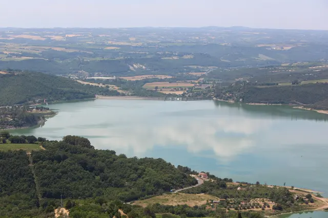
Much of the route stays near 1,000 metres, making it cooler than the valleys in summer. A side trip to the Lago della Duchessa at 1,788 metres is the most popular addition, provided conditions and fitness are right.
This is one of Italy’s easiest named trails to camp along. Basic pitches cost around €5–10, while combining campsites with village B&Bs keeps both the budget and pack weight manageable.
All 7 stages
GPX track published by Regione Abruzzo — Abruzzo Turismo. Distances and elevation figures are calculated from that file; check the official route updates before setting off.
Open stage: route and accommodationGPX track published by Regione Abruzzo — Abruzzo Turismo. Distances and elevation figures are calculated from that file; check the official route updates before setting off.
Open stage: route and accommodationGPX track published by Regione Abruzzo — Abruzzo Turismo. Distances and elevation figures are calculated from that file; check the official route updates before setting off.
Open stage: route and accommodationGPX track published by Regione Abruzzo — Abruzzo Turismo. Distances and elevation figures are calculated from that file; check the official route updates before setting off.
Open stage: route and accommodationGPX track published by Regione Abruzzo — Abruzzo Turismo. Distances and elevation figures are calculated from that file; check the official route updates before setting off.
Open stage: route and accommodationGPX track published by Regione Abruzzo — Abruzzo Turismo. Distances and elevation figures are calculated from that file; check the official route updates before setting off.
Open stage: route and accommodationGPX track published by Regione Abruzzo — Abruzzo Turismo. Distances and elevation figures are calculated from that file; check the official route updates before setting off.
Open stage: route and accommodationWhere to stay
Expect small B&Bs and private rooms in the villages, plus low-cost camping pitches on or near most stages. Booking is generally by phone or message and becomes important during the Italian summer holidays.
How much does the Cammino dei Briganti cost?
A camping-based trip can come in around €30 a day; private rooms and restaurant meals push that towards €70–80. It remains one of Italy’s better-value long-distance walks.
Can I camp along the route?
Yes. This is one of the most camping-friendly established trails in Italy, with inexpensive recognised pitches near most stage ends. Many walkers alternate tents and rooms.
Should I take five days or seven?
Seven follows the official rhythm. Five is realistic for experienced walkers by combining some of the shorter stages, but it leaves less time for villages and the Lago della Duchessa detour.